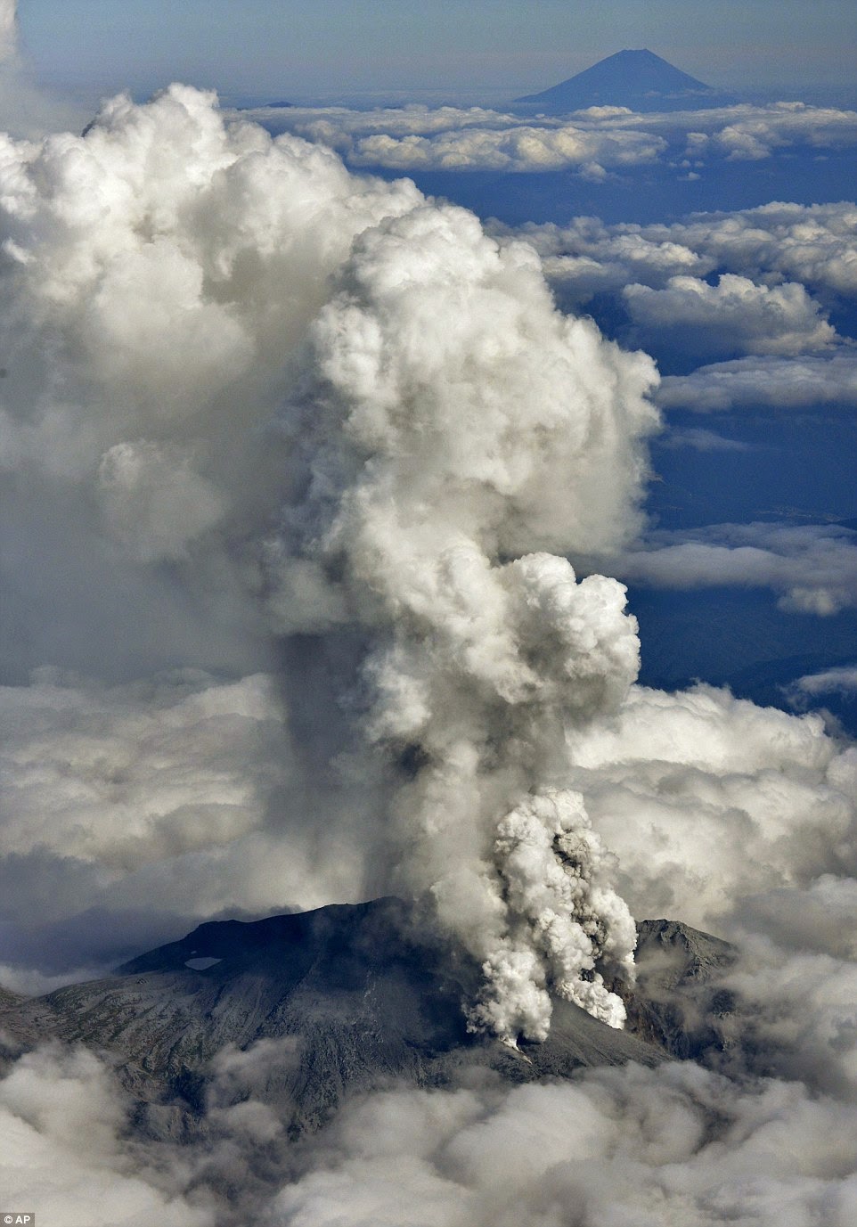
This year’s eruption was phreatic
in nature and followed on from seismic tremor and uplift which were detected
just 11 minutes before the eruption. The eruption measured a VEI 3. According
the Global Vocalism Program, there was a temporary increase in seismic activity
near the summit between 10th and11th September and on the
14th September low frequency signals were detected.
The eruption on the 27th
ejected an ash plume which reached heights 7 to 10km and ash fall affected the
area in the vicinity, measuring 50cm in thickness around the crater. The deadly
pyroclastic flow which was responsible for the fatalities travelled 3km down
the south flank of the volcano.
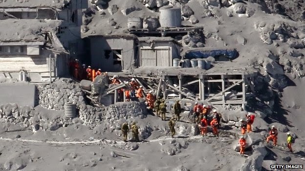
57 fatalities occurred, 70 were
injured and a further 6 are still missing. Search and rescue efforts to find
the missing have been suspended due to winter and will resume in spring.
Since the event numerous
photographs of the eruption taken by the victims in their last moments have
been discovered.
The Alert Level has been raised to 3 (on a scale of 1 to 5) since the eruption and remains a 3.
Izumi Noguchi took this photo moments before he was killed by the pyroclastic flow
Izumi Noguchi took this photo moments before he was killed by the pyroclastic flow
Izumi Noguchi was one of the 57 fatalities


No comments:
Post a Comment